"No survey, map, description, title area, or boundary is competent or determinable for title purposes unless directly or indirectly referenced and related to some known point or boundary already existent or established by record. WC. Wattles
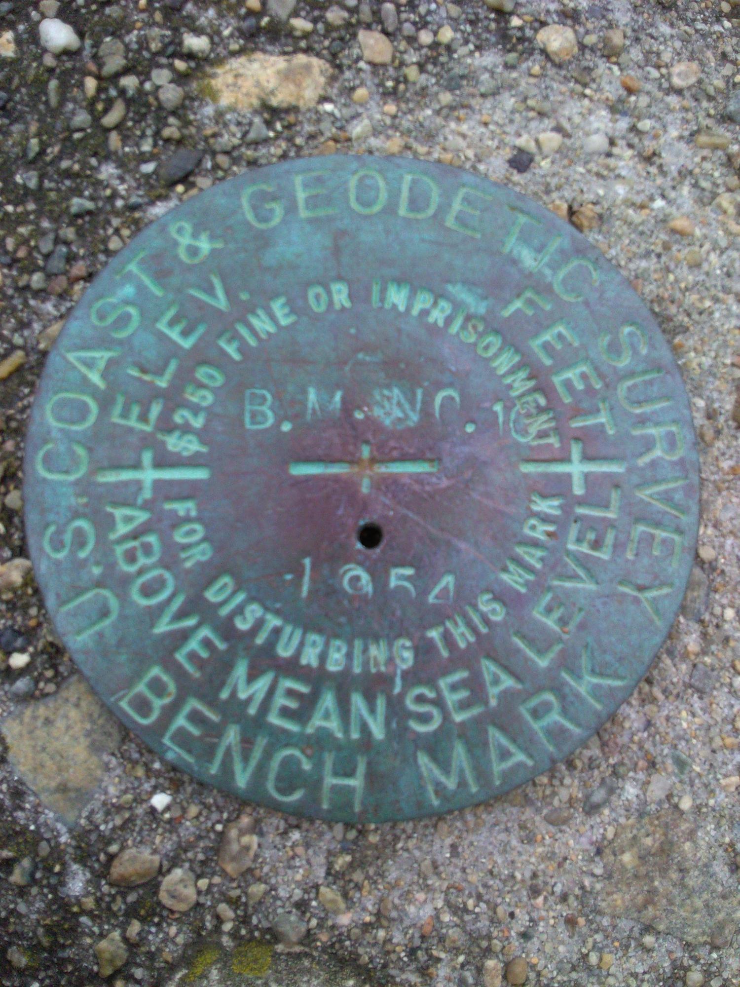
The original boundary marker has no error.


A rugged and careful company performing thorough records research, reconnaissance, on the ground recovery and diligent analysis to produce the survey report including legal deed descriptions, maps, recordable plats, narratives and more.

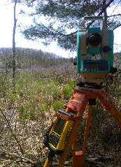
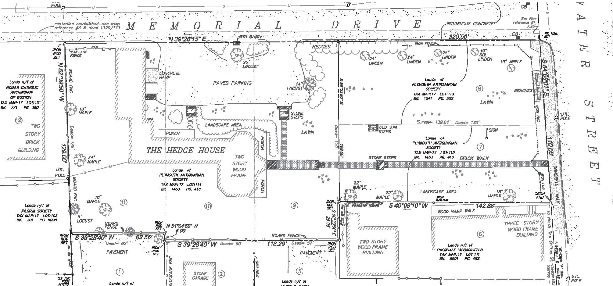
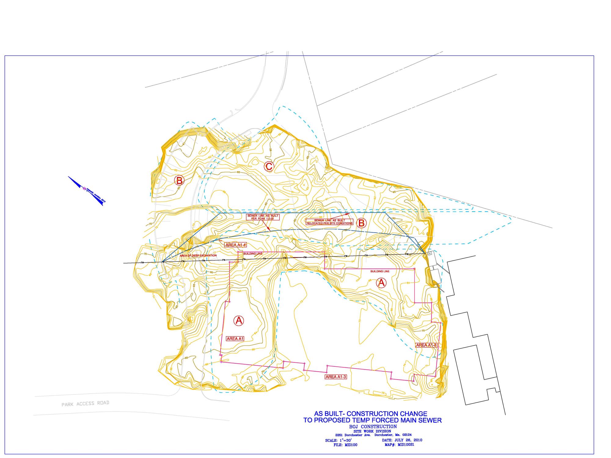
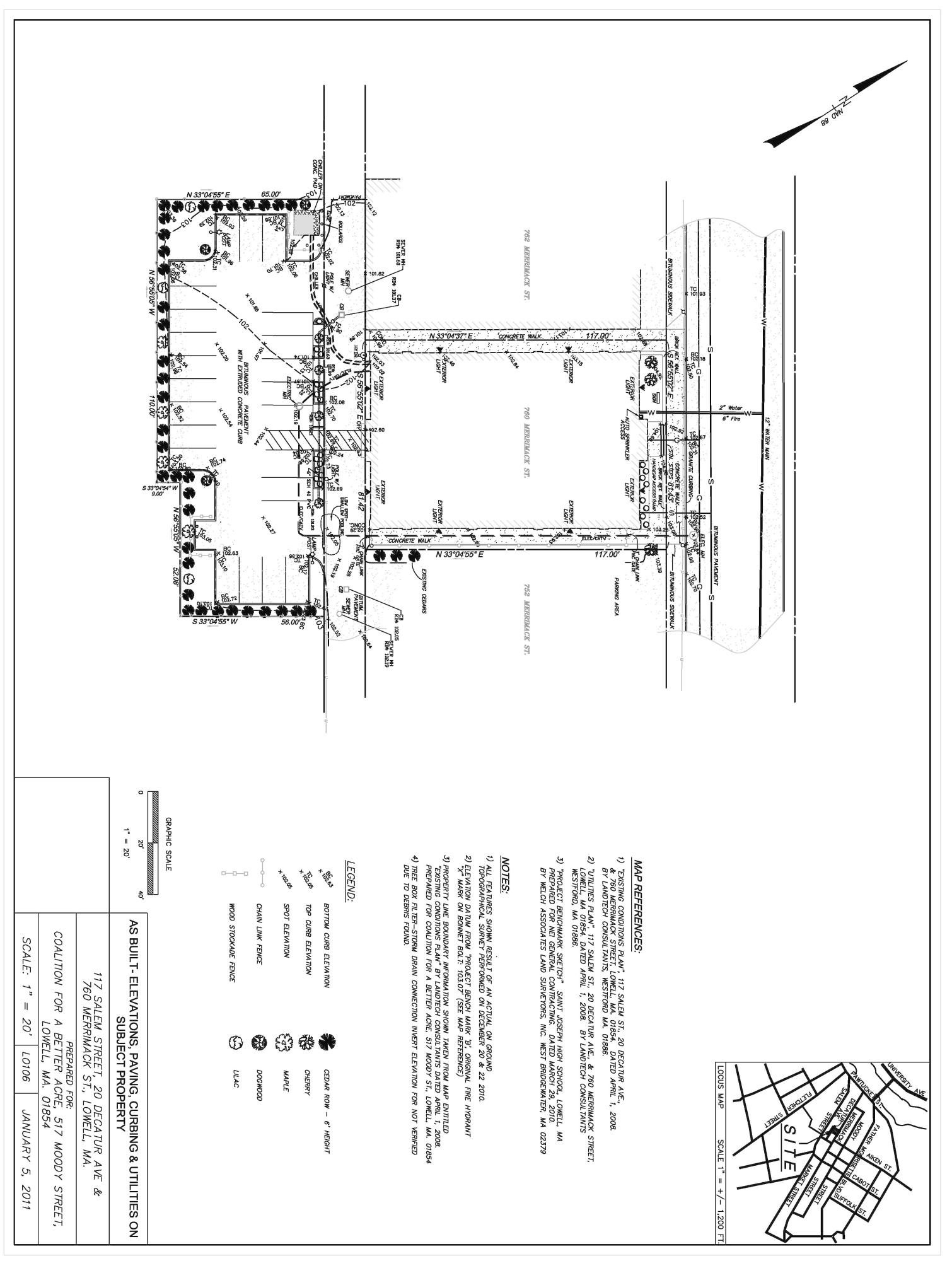
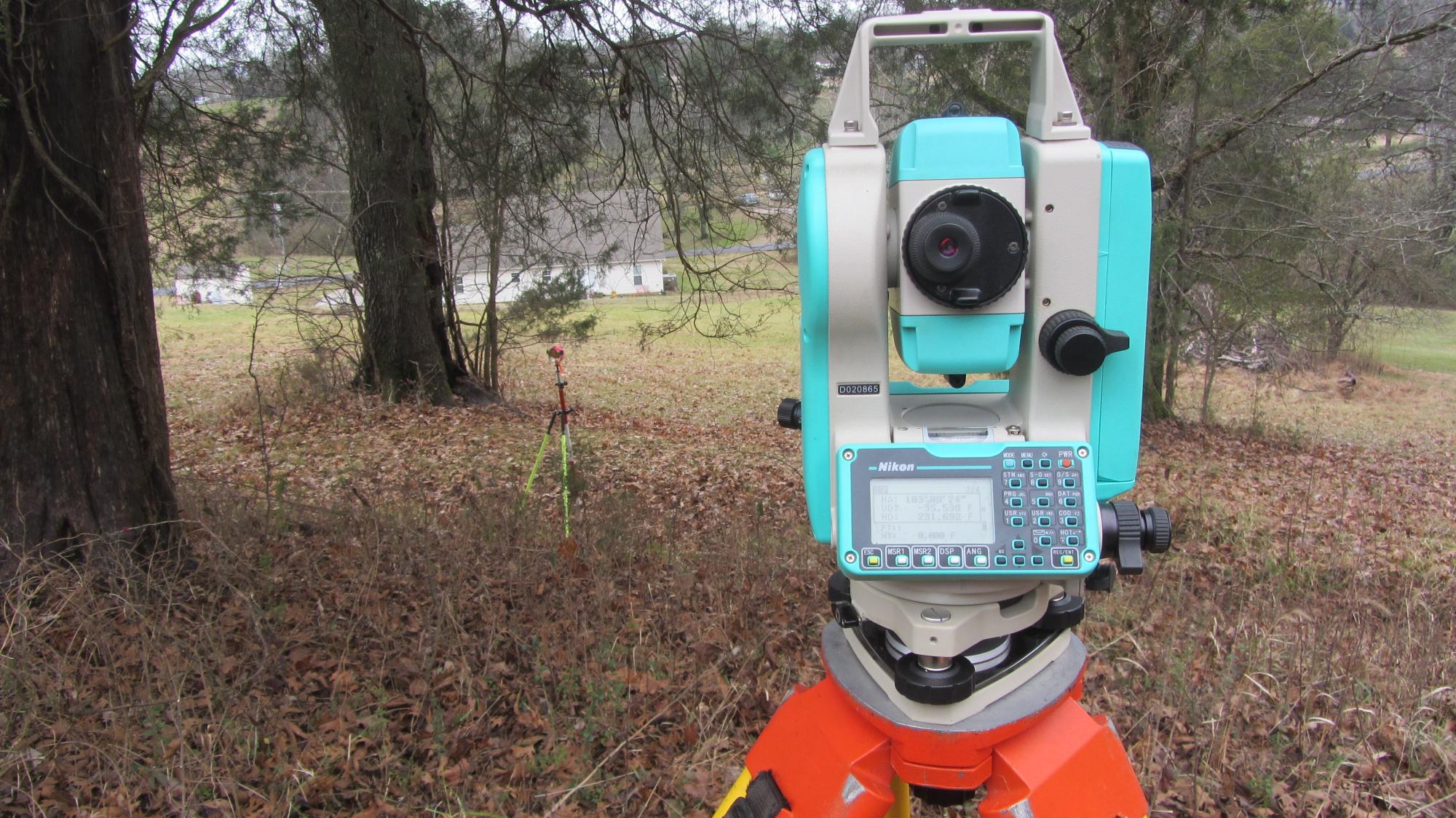
Boundary surveys, Easement delineations and right of way locations, Plot Plans, As Built, Topographic and Utility Existing Site Conditions Surveys, G.P.S. Control, Construction site plans and industrial site stake-out, building and column pinning, volumetric surveys and reports.
Email, write, or call for information regarding methods, survey questions, job cost and time frames.
Surveying is not an exact science when it comes to lot boundary. Land title incorporates possession/use, statuatory and case law, records of all sorts, measurements of applicable field evidence, and knowledge of the local customs of owners and surveyors

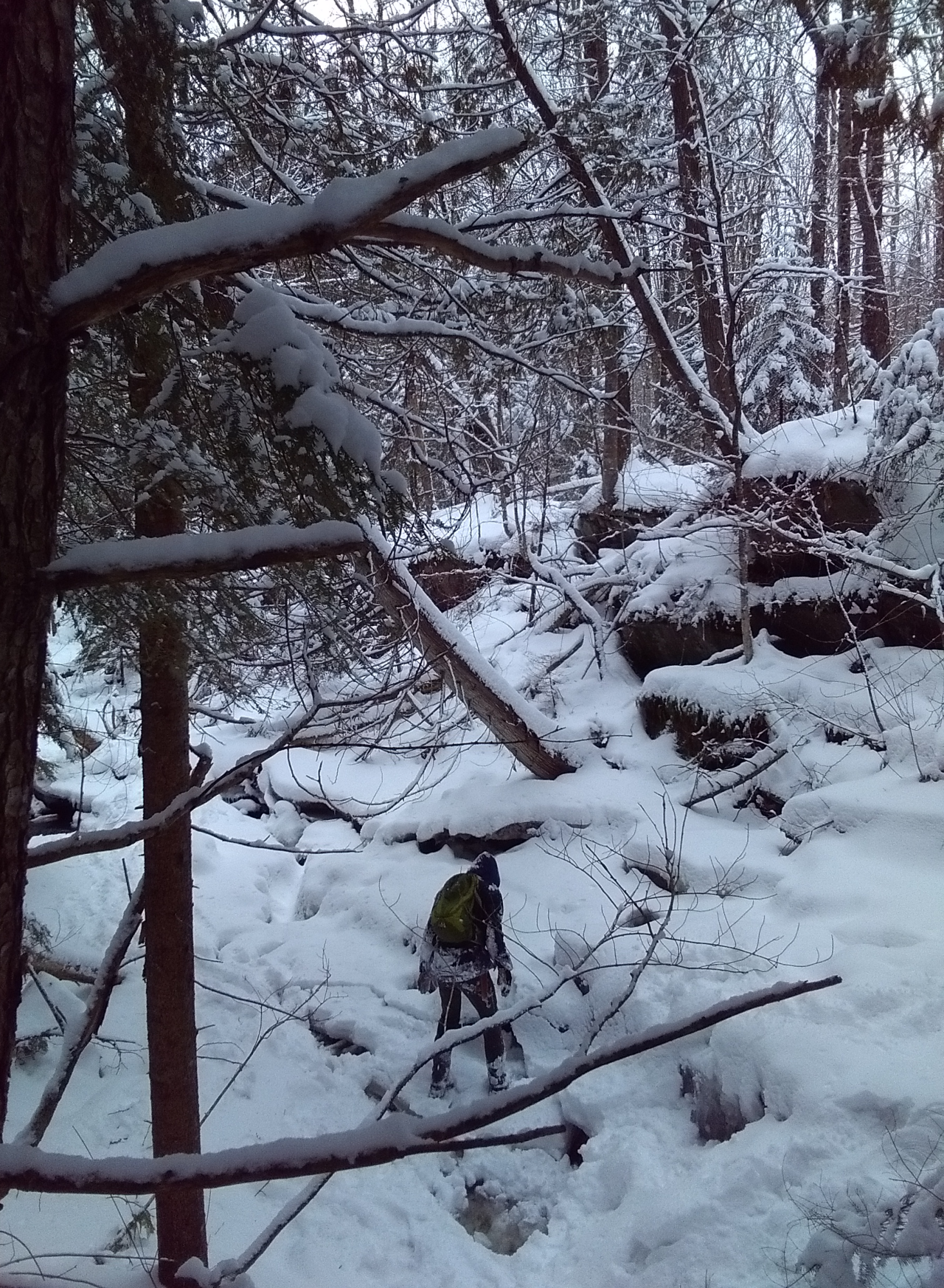
Location work in all kinds of weather
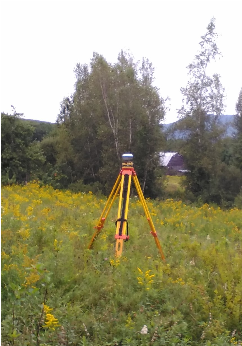
Solid static GPS
Plymouth Pilgrim State Park As Built
Member of the Vermont Society of Land Surveyors
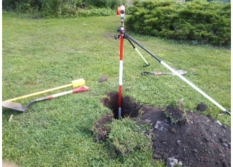
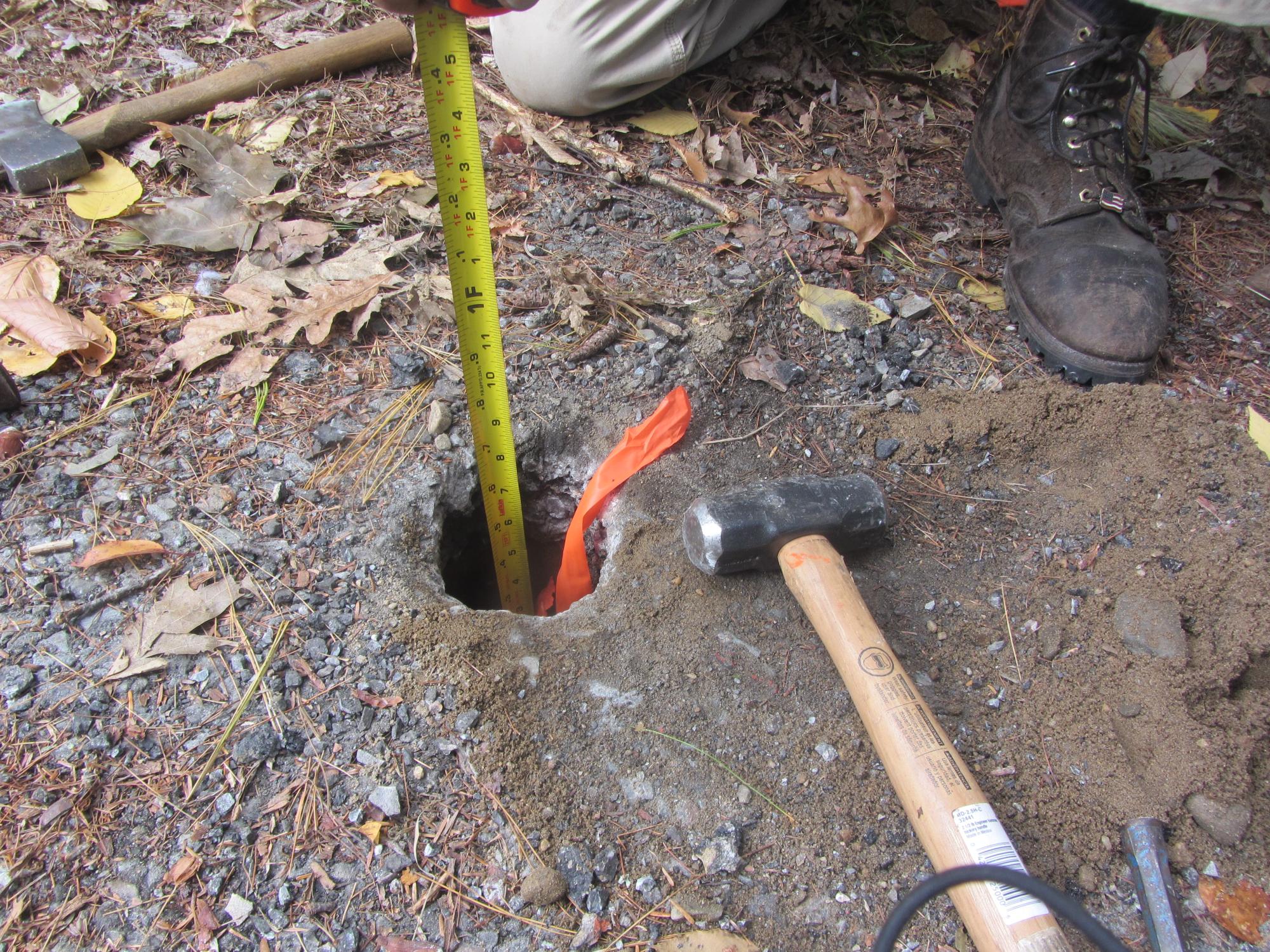
Record pin found 8" deep below pavement!